Walk through two billion years of history on Bromley’s Millennium Rock trail
Families and outdoor enthusiasts in Bromley can now access a new self-guided map to explore the borough’s Millennium Rocks, a collection of 19 ancient boulders that pre-date the earliest dinosaurs by over 1.5 billion years. To coincide with the May half-term, local libraries are hosting a series of free rock-painting and geology workshops designed to connect younger residents with the area’s deep geological heritage.
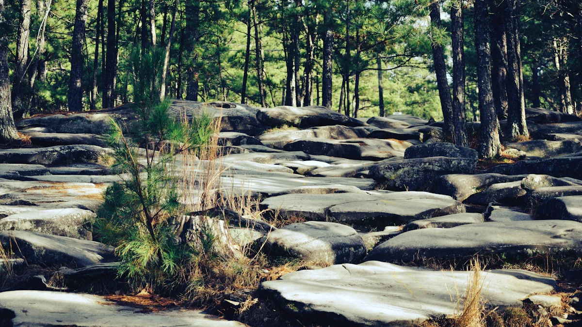
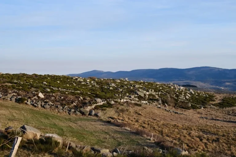
The 19 Lewisian Gneiss boulders were originally installed across Bromley’s parks and public spaces in 2000 to mark the turn of the millennium. Sourced from Lochinver in northwest Scotland and gifted by The Highland Council, these rocks are among the oldest geological specimens in Britain.
Half-term activities and library schedules
To encourage engagement with the trail, several Bromley libraries have organized creative sessions for children and families. These events are free to attend and provide a hands-on way to learn about the stones’ history.
- Orpington Library: Rock painting, Tuesday 26 May, 10:00am – 11:00am.
- Bromley Central Library: Rock painting, Tuesday 26 May, 2:15pm – 3:15pm.
- Hayes Library: Rock painting, Tuesday 26 May and Thursday 28 May, 2:30pm.
- Hayes Library Special Sessions: Geology and archaeology with historian John Keefe on Tuesday 26 May at 11:00am; Lego club (building stone circles and fossils) on Saturday 30 May at 2:15pm.
Ancient Scottish boulders in London’s suburbs
The Millennium Rocks project was a collaboration between the Ravensbourne Geological Society and Bromley Council. At the time of installation, 50,000 small rock samples were distributed to local schoolchildren to foster an interest in science and the natural world.
Councillor Yvonne Bear, Executive Councillor for Renewal, Recreation and Housing, noted that many residents pass these significant markers daily without realizing their age. The rocks offer a tangible link to a period two billion years ago, providing a unique educational resource within the borough’s green spaces.
Accessing the trail map
Residents can participate in the walk at any time using the newly available downloadable map, which identifies the specific locations of all 19 boulders. For those who prefer a physical copy, printed maps are available free of charge at all local libraries across the borough.
The trail is designed to be accessible for walking groups and families, often leading through Bromley’s extensive network of parks. Beyond the rocks themselves, the route encourages the exploration of the wider local heritage and natural landscapes found throughout the region.
Source: Bromley Council
Source check Local Government Source
This report is based on official event schedules and geological data provided by Bromley Council.
- Verified library workshop dates and times
- Confirmed geological origin of Lewisian Gneiss boulders
- Cross-referenced Millennium Rocks project history
- Source
- Bromley Council
- Scope
- Bromley
- Updated
- 2026-05-22 14:31
Source check
Report a trust issue
Send a clear signal to community moderation if the source, facts or context need review.


Comments