Met Office Amber Warning Forecast for Monday Morning Commute
Weather patterns across the UK are shifting as we approach the start of the new working week, with meteorologists closely monitoring a series of low-pressure systems. The Met Office is currently evaluating whether conditions warrant an escalation from standard yellow alerts to a more serious amber warning before the Monday morning travel window begins at 06:00 GMT. For commuters and parents, this distinction is critical, as an amber alert often triggers significant changes to transport schedules and local safety advice.
| Forecast Detail | Official Criteria |
|---|---|
| Forecast Question | Will the Met Office issue an amber warning before Monday morning? |
| Deadline | Monday, 06:00 GMT |
| Resolution Source | Met Office UK Warnings Page |
| YES Outcome | An Amber warning is issued or active for any part of the UK |
| NO Outcome | Only Yellow warnings or no warnings are active by the deadline |
The Difference Between Yellow and Amber Alert Levels
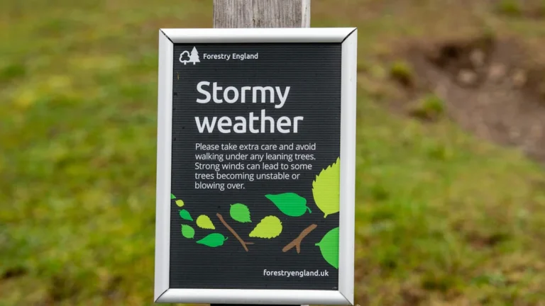
The Met Office uses a color-coded system—Yellow, Amber, and Red—to communicate the potential impact of weather. According to official Met Office guides, an amber warning is a significant step up from the more common yellow alert. While a yellow warning suggests you should “be aware” of possible travel delays, an amber warning carries a much higher likelihood of severe impacts.
When an amber warning is issued, it means there is an increased likelihood of severely disruptive weather. This could include power cuts, loss of other services like mobile phone coverage, and a high risk of travel delays or cancellations. The Met Office advises the public to “be prepared” to change plans and take action to protect themselves and their property. The decision to move to amber is based on a combination of the severity of the weather and the probability of it occurring, plotted on a 4×4 impact matrix.
Current Weather Patterns and Met Office Evidence
As of the latest updates on the official UK warnings page, the Met Office has been tracking unsettled conditions. The primary uncertainty lies in the exact track and intensity of incoming fronts. If a weather system intensifies more rapidly than predicted, or shifts its path toward more densely populated areas, the threshold for an amber warning may be met.
Evidence for an escalation usually appears in the “Impact” section of the Met Office forecast. Forecasters look for signs of “medium” to “high” impacts. For example, if wind speeds are expected to reach levels that could cause structural damage or if rainfall totals are projected to cause flooding of homes and businesses, the amber threshold is typically breached. Currently, the Met Office is maintaining a state of high vigilance, updating their maps every few hours to reflect the most recent satellite and radar data.
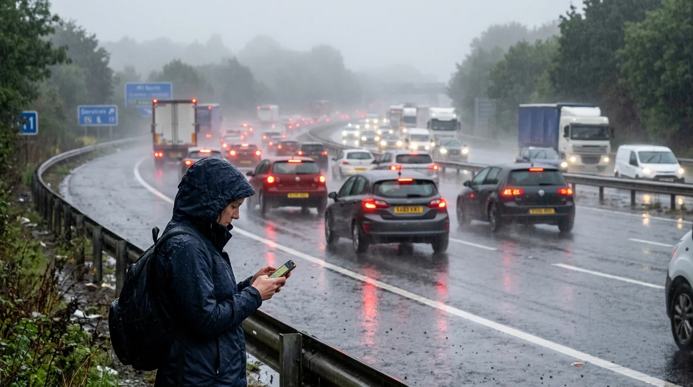
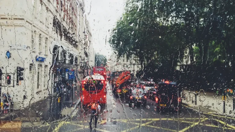
Travel and Safety Implications for the Monday Work Window
The timing of this forecast is particularly relevant because it covers the first major travel window of the week. A shift to an amber warning before Monday morning would likely result in immediate advice from National Rail and National Highways to reconsider non-essential travel. For schools, an amber warning for snow or ice often leads to early-morning assessments regarding closures to ensure the safety of staff and pupils.
Public services generally use the Sunday evening forecast to determine staffing levels for Monday morning. If the Met Office maintains only yellow warnings, the expectation is that the UK will remain “open for business,” albeit with caution. However, an amber warning issued overnight would necessitate a much more robust emergency response from local councils and utility providers.
Resolution Criteria for the Forecast Question
This forecast will be resolved based on the official data provided by the Met Office. The outcome depends entirely on the status of the UK National Weather Warning Service alerts.
- YES: The forecast resolves as YES if, at any point before 06:00 GMT on Monday, the Met Office issues a new amber warning or upgrades an existing yellow warning to amber for any region within England, Scotland, Wales, or Northern Ireland.
- NO: The forecast resolves as NO if, by 06:00 GMT on Monday, no amber (or red) warnings have been issued or are active. If the Met Office only maintains yellow warnings or has no warnings in place, the result is NO.
The public can verify this through the Met Office’s official warning map, which serves as the final authority for this forecast.
Source: Met Office
Source check Forecast Resolution Standards
This forecast is monitored against official Met Office National Weather Warning Service data.
- Data pulled directly from metoffice.gov.uk
- Thresholds defined by the official Met Office impact matrix
- Source
- Met Office UK Warnings
- Scope
- United Kingdom
- Updated
- 2026-05-23 04:38
Source check
Report a trust issue
Send a clear signal to community moderation if the source, facts or context need review.


Comments